Goodrich Corporation (NYSE: GR) has been selected by Cassidian (an EADS company) to provide the TERPROM® terrain referenced navigation (TRN) system for the Airbus Military A400M versatile airlifter. The system will be provided by Goodrich's Sensors and Integrated Systems team in Plymouth, UK.
Goodrich will continue development activities to adapt, fully integrate and qualify the TERPROM system on the A400M beginning in the third quarter 2011. This follows completion in mid-2010 of a successful concept phase in which Airbus and Cassidian worked with the Goodrich team to validate the system's TRN capability inside the A400M aircraft architecture.
Daniela Dudek, A400M military - mission management system programme head, Cassidian Electronics said, "Goodrich's TERPROM system will provide the A400M with a battle-proven TRN capability that has been specifically designed for tactical transport operations. It will greatly enhance the situational awareness of the A400M crew, allowing them to operate with increased safety at low level, in poor conditions or when GPS is denied." The TERPROM TRN system will be embedded inside the A400M military mission management system, developed by Cassidian Electronics, EADS.
Martin Couch, avionics business director for Goodrich's Plymouth team said, "Integration of the TERPROM TRN system onto the A400M confirms the real benefits this system offers to military aircraft crews in today's intense operational scenarios. The TERPROM system is highly accurate, passive and can be implemented in a wide variety of ways to suit different operational requirements and aircraft types."
TERPROM is a software-based system that references the actual terrain over which the aircraft is flying. It draws and combines information from the aircraft's radar altimeter and inertial navigation system with a digital terrain database, to give highly accurate terrain-referenced navigation and situational awareness - even in areas where GPS is not available. Its TRN capability calibrates errors within the aircraft inertial navigation system to provide a navigational accuracy of 15-30 meters. The system can be used for predictive ground collision avoidance, to enable more accurate terrain following flight, for wire and obstacle warning and cueing, and for passive target ranging. TERPROM is in use with 14 nations worldwide and equips over 5,000 military aircraft.
| Contact details from our directory: | |
| Collins Aerospace, Sensors & Integrated Systems | Terrain Following Radar |
| HENSOLDT Sensors GmbH | Thermal Imaging Equipment, Reconnaissance Radar, Avionics Management Systems, Airborne Reconnaissance Infrared, Moving Maps, Onboard Computers, Interceptor Fire Control Radar, Weapons Countermeasures, Flight Recorders |
| Related aircraft programs: |
| Airbus A400M |
| Related directory sectors: |
| Navigation Aids (Airborne) |

Weekly news by email:
See the latest Bulletin, and sign up free‑of‑charge for future editions.

Bell Mexico delivers 800th commercial aircraft cabin
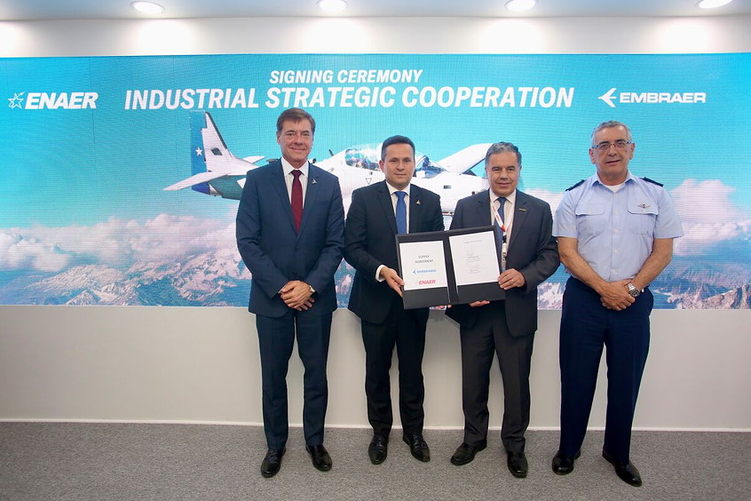
Chile's ENAER expands cooperation with Embraer

Eve names KAI as supplier for eVTOL pylons