The latest addition to Garmin's G1000 Integrated Flight Deck, Synthetic Vision Technology (SVT) has been approved for installation in Mooney Acclaims and Ovations by the Federal Aviation Administration (FAA) and is available immediately for buyers of the world's fastest piston singles. Using sophisticated graphic technology, Garmin's SVT provides a virtual depiction of terrain and water features, complete with obstacles and, in the case of aircraft equipped with traffic advisory systems, airborne traffic, in 3-D perspective that gives pilots enhanced visual cues and improved situational awareness regardless of meteorological or lighting conditions.
"The availability of this kind of technology for single engine airplanes is revolutionizing general aviation," noted Mooney Chief Executive Officer (CEO) Dennis Ferguson. "Synthetic Vision, GPS/WAAS and Safe Taxi ™ are among the most important advancements in avionics technology to come along in decades. They contribute significantly to overall flight safety and efficiency and can raise the level of a pilot's proficiency by virtue of the added capabilities they put at his or her fingertips. The addition of Synthetic Vision Technology to our fleet means Mooney will retain its accustomed position as the industry's leaders in value and performance," he added.
Mooney will begin installing the SVT-equipped G1000 avionics packages in production aircraft beginning in August. Mooney is also working on a package and pricing structure for aircraft owners who wish to upgrade their existing aircraft. Garmin's SVT transforms the cockpit by accurately displaying synthetic terrain, flight hazards, flight path marker and highway-in-the-sky on the primary flight display (PFD) to help the pilot maintain excellent airborne situational awareness even when flying in conditions of reduced visibility or darkness. SVT blends the aircraft's position with information from topgraphical databases to create and display real-time 3D images. Land, water and sky are clearly differentiated with shading and textures that are similar to the topographical colors found on the multi-function display (MFD) moving map. SVT also alerts pilots to terrain and obstacles with appropriate TAWS alert coloring.
"Because the G1000 is a truly integrated and expandable system, all of its major components are designed and manufactured by a single company so that they work together to give pilots the complete picture," noted Gary Kelley, Garmin's vice president of marketing. "SVT was designed as a retrofitable system and we have worked closely with Mooney to develop a process whereby customers can add SVT to their aircraft with very little downtime," he concluded.
| Contact details from our directory: | |
| Mooney International | Airframer |
| Garmin International | GPS, Transceivers, Radar Transponders, Position Indicators, Radio Communications Equipment, Instrument Landing Systems, Moving Maps, Flight Directors, Electronic Flight Instrument Systems, Flight Management Systems, Avionics Management Systems, Autopilots, Weather Mapping Radar, VOR (Omnirange) Receivers, Onboard Intercom Systems, Collision Avoidance Systems/TCAS, Radar/Radio Altimeters, Attitude and Heading Reference Systems, Magnetometers, Onboard Computers, Air Data Computers, Satellite Receivers, Automatic Flight Control Systems, Onboard Airport Navigation Systems, Terrain Awareness and Warning Systems, Head-Up Displays, Airborne Communication Systems, Engine Indicator Instruments, Storm-Warning Radar, Autothrottle Systems |
| Related directory sectors: |
| Imaging and Visual Systems |
| Flight and Data Management |

Weekly news by email:
See the latest Bulletin, and sign up free‑of‑charge for future editions.

Amprius and Stafl team up for battery pack innovation
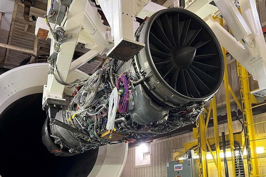
RISE engine efficiency project gains momentum
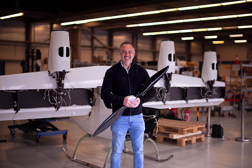
Dufour picks Mejzlik propeller blades for the Aero2