PRESS RELEASE
Issued by: Garmin International
Garmin International Inc., a unit of Garmin Ltd., the global leader in satellite navigation, today announced that Enstrom Helicopter Corporation has selected the G1000H all-glass, integrated flight deck for its 480B helicopter model. The new 480B flight deck was introduced today at the HAI Heli-Expo in Las Vegas, Nev.
"The Enstrom 480B is a remarkably versatile helicopter, used for a variety of missions including law enforcement, news gathering, private ownership, as well as serving as an excellent training platform," said Carl Wolf, Garmin's vice president of aviation sales and marketing. "Thousands of fixed-wing pilots have learned to fly behind our G1000, and now helicopter students will also have the opportunity to learn to fly behind an all-glass flight deck that provides the comprehensive information needed to enhance safety, reduce workload and increase situational awareness."
The G1000H integrates all primary flight information, navigation data, communications, terrain awareness, traffic, weather, and engine parameters on two 10.4-inch, high-resolution displays. The G1000H's reliable Attitude and Heading Reference System (AHRS) provides accurate, digital output and referencing of the helicopter's position, rate, vector and acceleration data. The G1000H also incorporates a large moving map, and supports a wide array of safety enhancing features, including Helicopter Synthetic Vision Technology (HSVT™), Helicopter Terrain Awareness and Warning System (HTAWS), datalink weather, Garmin's traffic awareness and collision avoidance system, and more.
"Garmin's state of the art G1000H integrated flight deck will provide our operators all the information they need in an intuitive package," said Bill Taylor, Enstrom's director of engineering. "The nature of the display reduces the pilot's scan to a smaller area, resulting in less time looking inside the cockpit. The synthetic vision and the navigation display provide excellent situational awareness and dramatically reduce the pilot's workload. Added options, such as traffic and weather increase the utility and provide an added safety margin."
The physical architecture of the G1000H uses modern data-bus technology that reduces wire count and overall weight and simplifies installation and maintenance. Line-replaceable units (LRUs), which have been designed to withstand helicopter vibration levels, are integrated with sensors throughout the aircraft and transfer data seamlessly from these sensors to the PFD/MFD to deliver real-time information to the pilot.
| Contact details from our directory: | |
| Garmin International | GPS, Transceivers, Radar Transponders, Position Indicators, Radio Communications Equipment, Instrument Landing Systems, Moving Maps, Flight Directors, Electronic Flight Instrument Systems, Flight Management Systems, Avionics Management Systems, Autopilots, Weather Mapping Radar, VOR (Omnirange) Receivers, Onboard Intercom Systems, Collision Avoidance Systems/TCAS, Radar/Radio Altimeters, Attitude and Heading Reference Systems, Magnetometers, Onboard Computers, Air Data Computers, Satellite Receivers, Automatic Flight Control Systems, Onboard Airport Navigation Systems, Terrain Awareness and Warning Systems, Head-Up Displays, Airborne Communication Systems, Engine Indicator Instruments, Storm-Warning Radar, Autothrottle Systems, ADS-B systems |
| Enstrom Helicopter Corporation | Airframer |
| Related aircraft programs: |
| Enstrom 480B |
| Related directory sectors: |
| Flight & Data Management |
| Cockpit Displays |

Weekly news by email:
See the latest Bulletin, and sign up free‑of‑charge for future editions.

CubCrafters offers Garmin AXIS across entire lineup
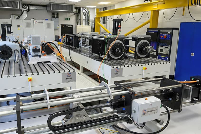
Collins in Wolverhampton begins testing electric actuation
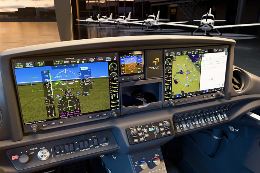
Cirrus TRAC10 trainer gains dual touchscreen flight deck

Electra’s EL9 ultra-short hybrid advances toward certification