PRESS RELEASE
Issued by: Elbit Systems Ltd
Enabling a new level of operational flight, BrightNite is a multi-spectral panoramic solution for helicopter pilots flying in a Degraded Visual Environment (DVE)
Elbit Systems introduces BrightNite a solution that enables utility helicopters to successfully perform Degraded Visual Environment (DVE) missions in more than 90% of night flying situations, providing them with piloting capabilities of attack helicopters and enabling a new level of operational flight.
Lightweight, compact and cost-effective, BrightNite is a multi-spectral end to end panoramic piloting solution that delivers the essential data directly to both eyes of the pilot, enabling intuitive flight in a head-up, eyes-out orientation in pitch dark and other DVE conditions.
The unique solution is comprised of non-gimballed uncooled FLIR and highly sensitive Complementtary Metal-Oxide Semiconductor (CMOS) sensors that present an ultra-wide field of regard intuitive image to a display system which projects to the ANVIS/HUD™ night Helmet Mounted Display (HMD). The display is overlaid by a synthetic layer that follows the contours of the landscape and a third layer of 3D conformal symbology, which displays hazards, mission conformal symbology and tactical data. Multiple crew-members can simultaneously scan the entire field of regard, using a single sensor and the synthetic world, enabling them to fly in common Line-Of-Sight (LOS).
| Contact details from our directory: | |
| Elbit Systems Ltd | Thermal Imaging Equipment, Enhanced Vision Systems (EVS), Chemical Milling, Metal Bonding, Filament Winding Service, Aerial Firefighting Equipment, Forming, Aircraft Structural Components, Moving Maps, Helmet-Mounted Displays (HMD), Electronic Flight Instrument Systems, Laser Radar, FLIR Systems, Cameras (Airborne), Head-Up Displays, Warning Systems/Equipment, Flight Recorders, LCD Displays, Avionics Management Systems, Stores Management Systems, Terrain Awareness and Warning Systems, Terrain Following Radar, Weapons Countermeasures, Radio Communications Equipment, Airborne Communication Systems, Electronic Warfare Systems |
| Related directory sectors: |
| Imaging and Visual Systems |
| Cockpit Displays |

Weekly news by email:
See the latest Bulletin, and sign up free‑of‑charge for future editions.
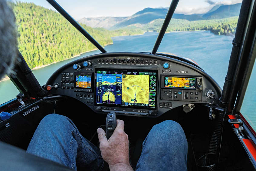
CubCrafters offers Garmin AXIS across entire lineup
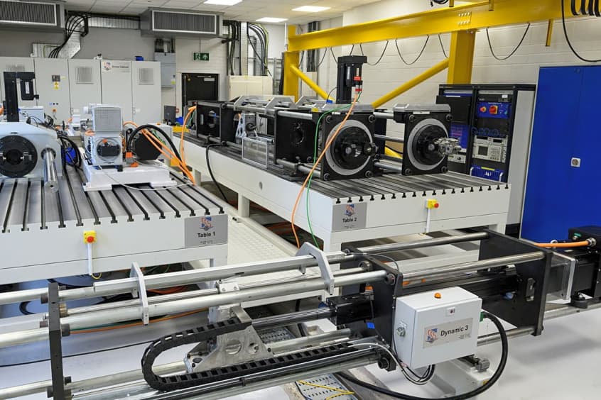
Collins in Wolverhampton begins testing electric actuation

Cirrus TRAC10 trainer gains dual touchscreen flight deck

Electra’s EL9 ultra-short hybrid advances toward certification